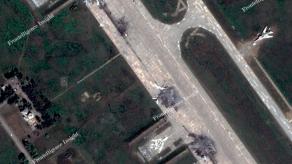
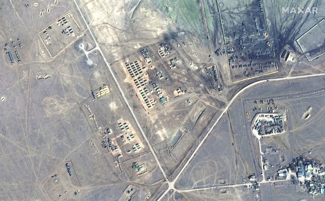
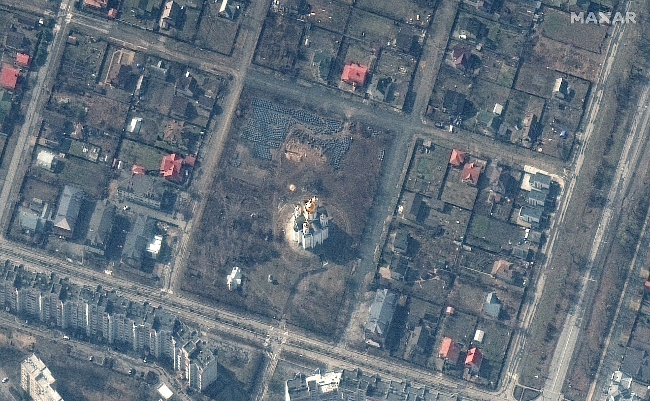
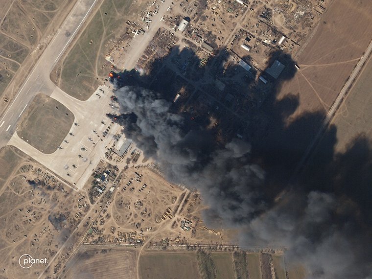
Commercial satellite imagery is in high demand and its utility for military operations has been on full display during the war in Ukraine. Data from commercial space-based imagery providers is supplementing government-owned space capabilities, providing detailed insights into Russian troop movements in Ukraine.
AFRL has been working since 2019 to develop an interface that allows combatant commands to buy satellite imagery from commercial providers and allied partners. The capability, called the Global Unified Environment, is expected to transition to the Space Force in fiscal 2024.
Read more: Maxar Technologies Showed the Result of Ukrainian Strike on russian Troops on Zmiinyi Island
Col. Joseph Roth, director of the Innovation and Prototyping Delta at Space Systems Command, told reporters during a visit to Kirtland Air Force Base in New Mexico June 23 that the Space Force is considering how it can leverage AFRL’s work. GLUE’s transition is part of a larger effort to protect the service’s constellations by diversifying its capabilities and operational concepts, be it launching small satellites to different orbits or leveraging technology that’s available from commercial providers.
“We need all hands on deck to get our capabilities up there because our systems are vulnerable,” he said. “If we do not do something about it quickly, our adversary is going to take advantage of it. And it’s not going to be 2030 when we’ve invested and all of our new systems are coming online. It’s going to be sooner than that.”
Creating a more resilient architecture is a top priority for Air Force and Space Force leadership. Lt. Gen. Michael Guetlein, director of Space Systems Command has said that as the service invests in new technology that could take years to develop, it needs to take near-term steps to augment its current systems, setting 2026 as a target timeline for delivering those incremental capabilities.
GLUE is an outgrowth of AFRL’s work to demonstrate the resilient capabilities Space Force leaders want through a program called the Hybrid Architecture Demonstration. 1st Lt. Jacob Perry, deputy program manager for HAD, told C4ISRNET in a July 8 email that HAD was designed to assess “the military utility of commercial and allied ISR” and GLUE is a suite of tools that will allow users to tap into that data.

The National Reconnaissance Office and the National Geospatial-Intelligence Agency have both ramped up efforts to buy more commercial data. The NRO awarded satellite imagery providers Maxar Technologies, Planet Labs and BlackSky 10-year contracts in May and the NGA has more than doubled its purchases of commercial imagery in the last year.
The Defense Innovation Unit is also aiding the Space Force as it shifts to a new architecture, selecting four companies this week to participate in its Hybrid Space Architecture program, which will demonstrate a space-based communications network composed of commercial and government systems. DIU announced July 7 that Aalyria Technologies, Anduril Industries, Atlas Space Operations and Enveil -- all technology companies -- will demonstrate a range of capabilities during on-orbit demonstrations, including secure software, data-sharing, cloud-based analytics and network security.
“The initial goals are on-demand collection and exploitation of overhead imagery and beyond-line-of-sight tactical situational awareness,” DIU’s program manager Rogan Shimmin said in a statement. “Hosting internet-of-things sensors and edge processing on every satellite further enables breakthrough civil applications, including comprehensive space domain awareness and high-fidelity mapping of the space radiation environment.”
Read more: New Satellite Imagery Shows Russia Increased Military Readiness


