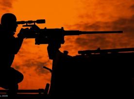
Speaking of any sort of offensive activities, including the discourse around the anticipated Ukrainian counteroffensive, one of the important factors that define its time limits is the weather.
Defense Express has already shown an example of why the current weather conditions are still unfavorable for the Ukrainian counteroffensive and analyzed the role of military meteorologists in general.
Read more: Why the Weather is Still Unfavorable for Ukraine’s Counteroffensive, We Show on the Example of Kirpi and ‘Tractor Troops’
The reminder also comes from Ukraine's Minister of Defense Oleksii Reznikov who said the main objective is to break through the russian defensive lines with modern armor. The time to start the operation, he noted, heavily relies on weather conditions. And it's not only about the obvious factor of the cross-country ability of the armored equipment to move over the muddy soil, the cloudiness is important, too.
Though one may think he means "good flying weather" which is important for the direct air support of the advancing forces, or air reconnaissance from a UAV. But the real issue is the visibility from outer space.
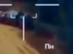
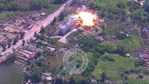
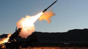
The thing is, the Armed Forces of Ukraine actively use satellite intelligence for planning operations and finding the location of enemy ammunition depots, reserve forces deployments, command centers and other important destinations for HIMARS rockets. The destruction of these russian assets will play a huge role as soon as the counteroffensive starts. Although satellite recon is just one of the many ways to obtain information, it can see things an ordinary UAV would not be capable of.
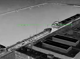
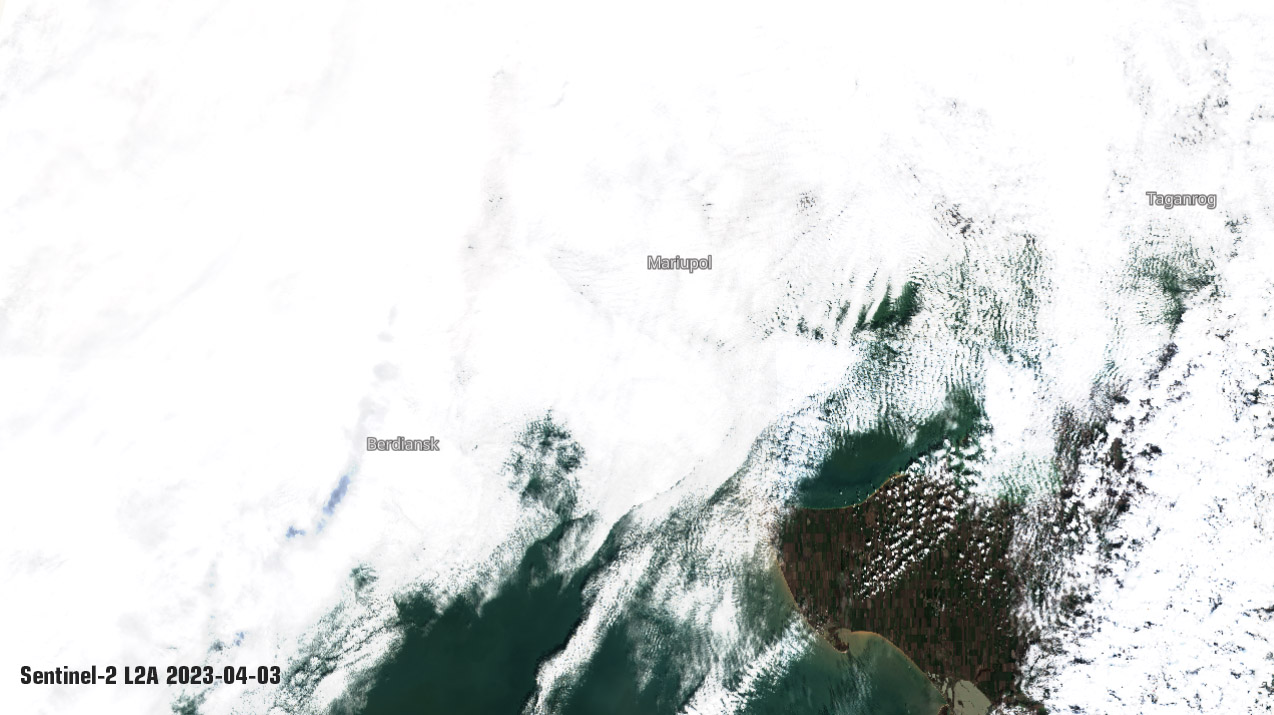
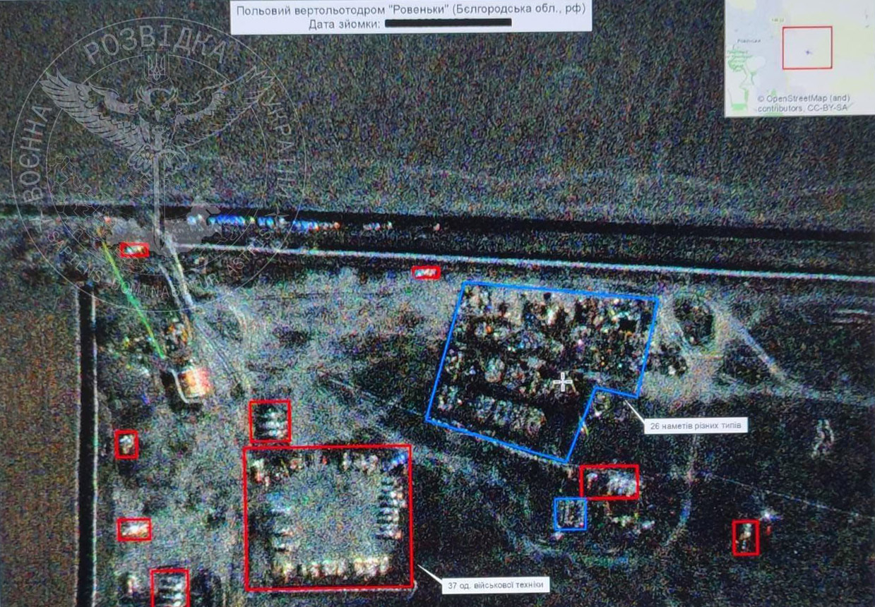
Surely, some of the satellites used for this purpose, such as the ICEYE, implement the SAR technology that works well regardless of clouds and level of illumination, but most of them only operate in the visible spectrum.
In other words, the Ukrainian military can receive intelligence in its fullest only when the skies over Ukraine would be without a cloud. It will allow AFU to fill the "bank of targets" – a systematized list of enemy facilities, locations and assets that have to be destroyed with long-range weapons.
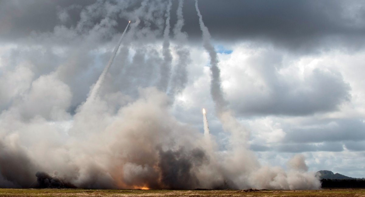
This will allow Ukrainians to soften up russian defense with strikes on its rear and become a clear signal to start an offensive. Of course, these strikes will land on enemy lines in multiple operational directions to disrupt the russians as it starts.
Read more: ICEYE Makes a Difference: Ukrainian Intelligence Spotted and Destroyed Over 7,000 Targets Thanks to the SAR Satellite