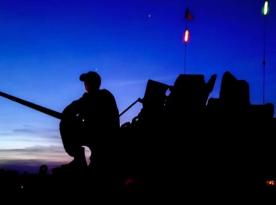
France this year conducted one of most large-scale ORION 2026 military exercises, in which several dozen countries and more than 12,500 military personnel participated. One important element worked out at these exercises was demonstration that space reconnaissance and surveillance is important component for supporting dispersed combat operations.
As Finnish microsatellite manufacturer ICEYE reported, during these exercises they integrated their ISR Cell intelligence center into French military infantry brigade, thanks to which military received necessary satellite images in timelines close to real-time mode, including their analysis and operational target coordinates transmission for strike.
Read more: Gripen, F-16, FA-50, or M-346: Mexico's Choice Could Matter for Ukraine
ICEYE announced ISR Cell launch in early fall last year. As company explained then, this is first of its kind and simple to deploy mobile unit enabling radically shortening intelligence and surveillance cycle from hours to minutes.
Essentially, ISR Cell is containerized point where all necessary equipment is located providing direct access to space reconnaissance and surveillance assets.
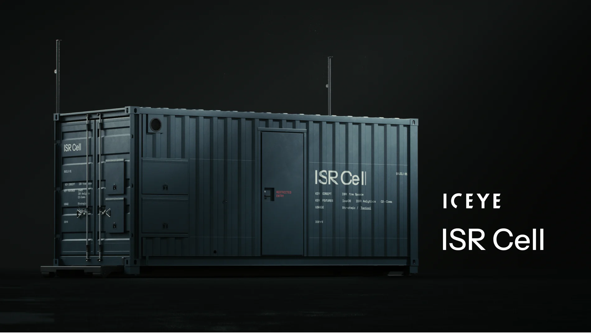
Thanks to ISR Cell at all command levels, not only direct satellite imagery access can be ensured but also rapid received data analysis, including using artificial intelligence. Company also emphasizes secure intelligence information distribution obtained using satellites.
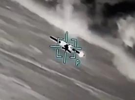
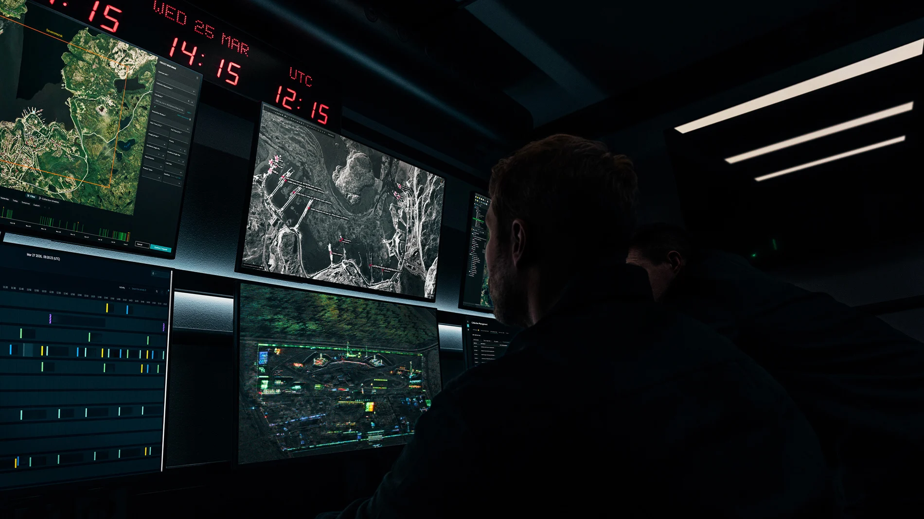
ICEYE illustrated France testing news with command post image with monitors where one can discern russian Northern Fleet main base at Severomorsk in Murmansk Oblast.
Also S-300 surface-to-air missile system position in Belarus. Images show both launcher locations and radar stations.
At the same time, unknown whether this photo was purely illustrative or these objects were genuinely tracked during France exercises.
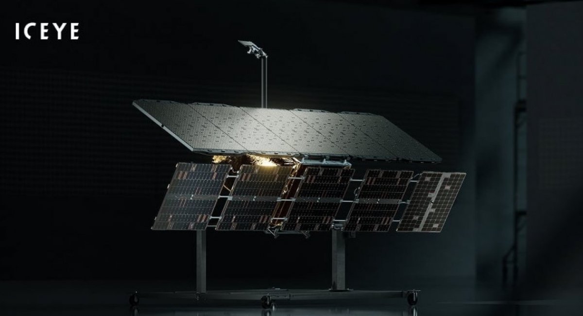
Recall Ukraine also cooperates with ICEYE company. ICEYE satellites' advantage is SAR technology synthetic aperture radar, thanks to which reconnaissance data from these satellites can be obtained regardless of any weather conditions. One meter per pixel resolution (which can be even higher) with 15x15 km area image enables detecting military equipment positions.
Read more: One of JAS 39 Gripen's Main Advantages Is Saab's Openness to Weapons Integration, Important for Ukraine for Two Reasons